Field-based Learning, Outreach, & Workforce Scholarship (FLOWS)
FLOWS provides CSU Students with geospatial and field based research and service learning that prepares them for diverse career opportunities. FLOWS activities include diverse activities with local, regional and state water resource practitioners, community, and Tribal leadership engagement. The focus for the experiences will be community-ecological water issues and solutions across the coast, mountain, valley and desert regions of California.
The FLOWS program is led by Dr. Jennifer Alford (Director, FLOWS) who serves as the CSUSB Institute for Watershed Resiliency Director, CSU WATER Associate Director for Research and Associate Professor of Environmental Studies. Danielle Bram (Associate Director, FLOWS) serves as the CSUN Director of the Center for Geospatial Science & Technology, Associate Director for the Institute for Social & Behavioral Sciences and the CSUN Coordinator for International Spatial Technology & Research Lab.
IWR FLOWS Application Questions Preview.pdf
Field School #1 Coachella Valley, Salton Sea January 11th-13th
Field School #2 San Bernardino Mountains, Mojave Desert May 19th-21st
FLOWS webinars 12-1pm on October 14th, November 4th & November 11th
For questions, email Dr. Jennifer Alford at jennifer.alford@csusb.edu and put FLOWS in the email subject.
Students lodging and food will be covered for the duration of the FLOWS field school experiences.
Learning Community Cohorts
FLOWS fellows will participate in collaborative activities with fellow FLOWS peers, instructors and community members, before, during and after field school experiences. Campus cohorts will be tasked with bi-weekly assignments prior to and after each field school experiences so that they can explore the dynamic and complex water landscapes utilizing interdisciplinary perspectives and applications. FLOWS fellows have a unique opportunity to embrace a variety of learning and professional techniques from geospatial technology to historical archives, coupled with traditional and innovative field assessment approaches.
Learning Activities & Applications
- Data collection and analysis.
- Each campus cohort will develop water landscape profiles of their respective communities that will be shared with FLOWS program participants and the greater campus community.
- Applied geospatial tools workshop attendance.
- Geospatial applications of field data.
- Developing educational materials about FLOWS activities.
- Meeting resource practitioners to learn about programs, projects and career opportunities.
- Engage with Tribal communities or organizations working with Tribal communities to explore Tribal perspectives of water issues.
- Developing a final FLOWS program ArcGIS Storymap to highlight learning and engagement activities. Information will be shared across CSUs, agencies, nonprofits and communities to promote FLOWS funding and recruitment efforts.
Skill Sets Developed
- The ability to work in individual and group settings to explore complex human-environmental relationships about water resources across diverse landscapes.
- Gain experience collecting and disseminating data into an educational format to be shared with diverse audiences.
- Participate in opportunities to explore data collection best management practices, methodologies and current applications.
- Learn to understand and apply geospatial applications to see how various phenomena change across a hydrological landscape.
- Gain appreciation for diverse perspectives about water resource issues including perspectives of those representing Tribal and disadvantaged communities.
Student Compensation & Resource Support
- Accommodations during field school activities.
- Use of program field gear and equipment.
Previous Field School Highlights
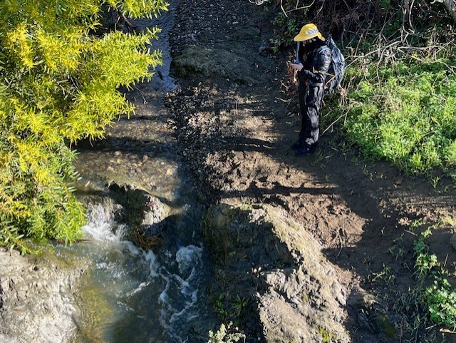
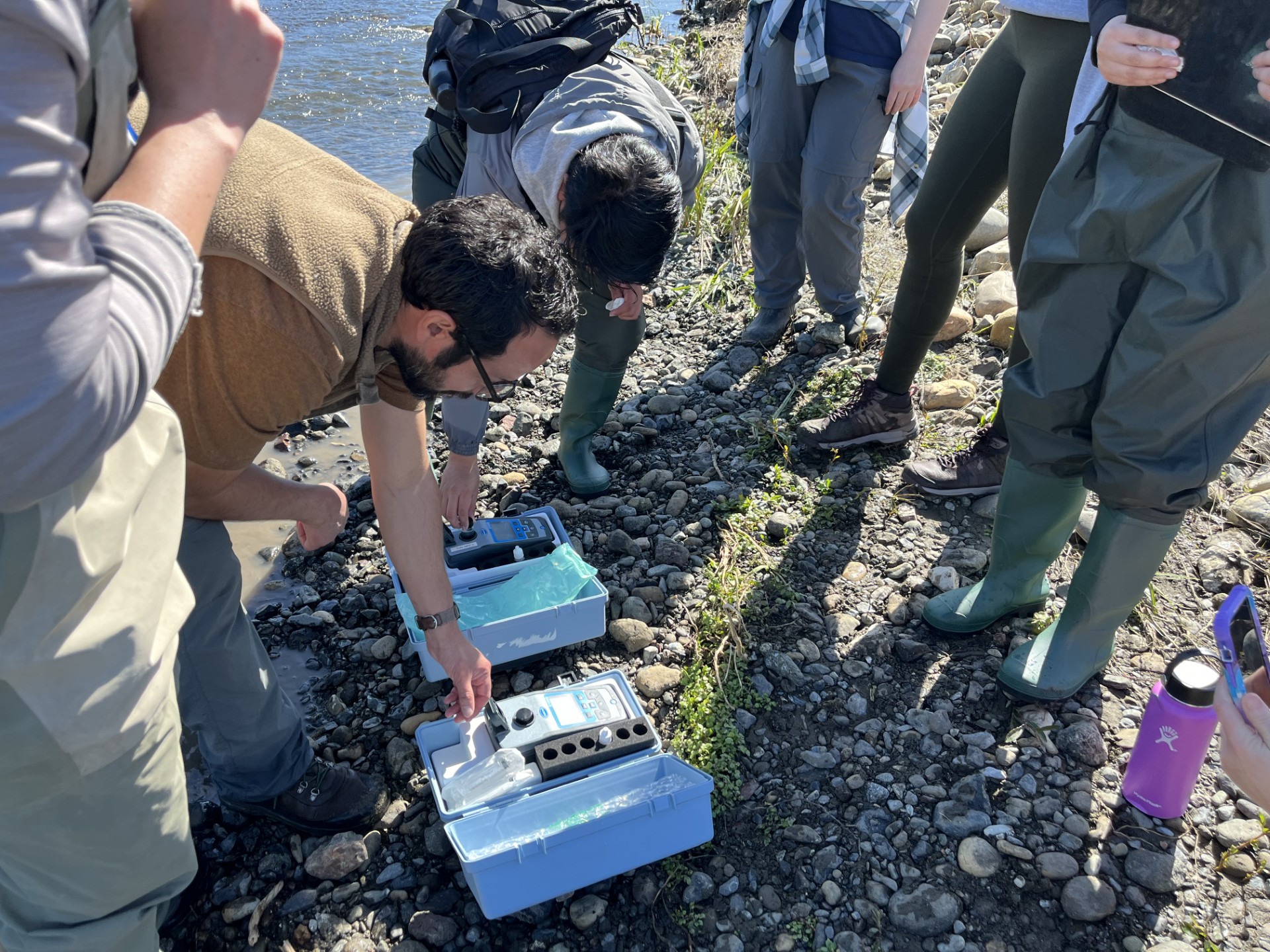
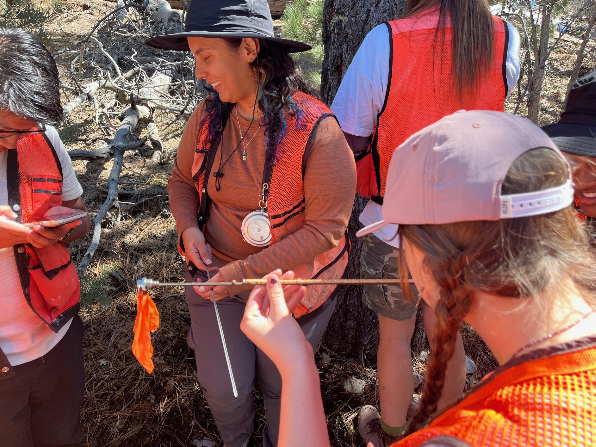
FLOWS student fellows from multiple CSU campuses have participated in field and community based experiential learning experiences ranging form the Morro Bay and Santa Monica Mountains to the Coachella Valley and San Bernardino National Forest. Learning partnerships included Morro Bay National Estuary Program, Heal the Bay, Santa Monica Conservancy, Audubon Society Salton Sea, CalFire, Mojave Water Agency and community members who supported FLOWS activities.
FLOWS Fellows developed ArcGIS StoryMaps that highlighted their experiences.
CalFire San Bernardino Mountains
Santa Monica Mountains Heal the Bay 2023-2024 FLOWS Fellows Storymap.
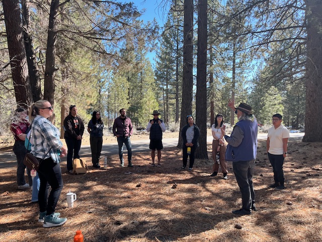
FLOWS Fellows learning from Dr. James Fenelon,
Director CSUSB Center for Indigenous Peoples Studies